
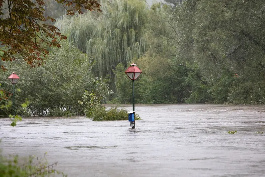
Some of the conditions that can fuel very heavy rainfall are present again this year, but there is currently no reliable way to say whether Austria will see a repeat of the devastating floods of September 2024.
The question has resurfaced after ORF meteorologist Marcus Wadsak warned that some of the conditions seen before the disaster fo two years ago are present again.
Speaking to the Kleine Zeitung, Wadsak said "the ingredients are in place again", pointing to Austria's prolonged heat and drought and exceptionally warm Mediterranean waters.
But other experts are more cautious about what those conditions actually mean for the months ahead.
GeoSphere Austria climate researcher Klaus Haslinger told Der Standard that it isn't possible to calculate the probability of a specific heavy-rain event weeks or months in advance.
A very warm Mediterranean, however, means there is potential for heavy rain if the right weather pattern develops, he said.
Why are experts looking back at September 2024?
The floods two years ago were caused by an unusual combination of weather conditions.
Between September 12th and 16th, a low-pressure system brought heavy rainfall to Austria and other parts of Central and Eastern Europe.
According to GeoSphere Austria's analysis of the event, much of Austria received between 100 and 200 millimetres of rain, while parts of Lower Austria, Vienna and Upper Austria recorded between 250 and more than 400 millimetres.
September 2024 then became Austria's wettest September since nationwide precipitation records began in 1858.
In 2024, cold air pushed far south towards the Mediterranean while a strong low developed around northern Italy. The system then became effectively stuck over eastern Central Europe, repeatedly drawing moist Mediterranean air towards the Alps.
That combination allowed extraordinary quantities of rain to fall over the same areas for several days.
But those ingredients are not all present now.
READ ALSO: What's the cause of Austria's 'unprecedented' rainfall and flooding?
So why is there concern this year?
One factor is the Mediterranean's temperature.
Large parts of Europe's seas have experienced exceptional heat this summer. Copernicus data published in August showed widespread marine heatwave conditions in the western Mediterranean, with sea surface temperatures in some areas around 6C above the long-term average.
Warmer water can increase the amount of moisture available to developing weather systems, meaning that an appropriate low-pressure system could potentially produce very heavy precipitation.
Austria is also experiencing an exceptionally dry period.
GeoSphere Austria said that the previous 12 months were the driest since records began in 1850. Between January 1st and August 12th, 72 percent of Austria's territory had experienced more dry days than in any of the previous 65 years.
Vienna, Lower Austria and Burgenland have seen an almost continuous rainfall deficit since February.
Wadsak has argued that some very dry, compacted ground may also have difficulty absorbing large quantities of water quickly if heavy rain does arrive.
READ ALSO: Why Austria’s dry spring could affect farms, food and water this summer
Can meteorologists tell what autumn will bring?
Not with the precision needed to predict an event like September 2024.
GeoSphere's current longer-range outlook shows the possibility of somewhat wetter conditions from October, but the national weather service also stresses that forecasts for the Alpine region become particularly uncertain beyond about one month.
READ ALSO: 'Achtung... Gefahr': What do Austria's weather warnings actually mean?
Key vocabulary
Hochwasser – flooding or high water
Starkregen – heavy or intense rainfall
Vb-Wetterlage – a weather pattern in which a low-pressure system typically moves from the Mediterranean towards Central and Eastern Europe
Italientief – a low-pressure system developing around Italy
Dürre – drought
Comments