Heavy snowfall warning issued for Stockholm and Uppsala
Central Sweden, including Stockholm, has been placed under a yellow weather warning for heavy snowfall which is expected to cause issues on the roads and on public transport. Here are the details.
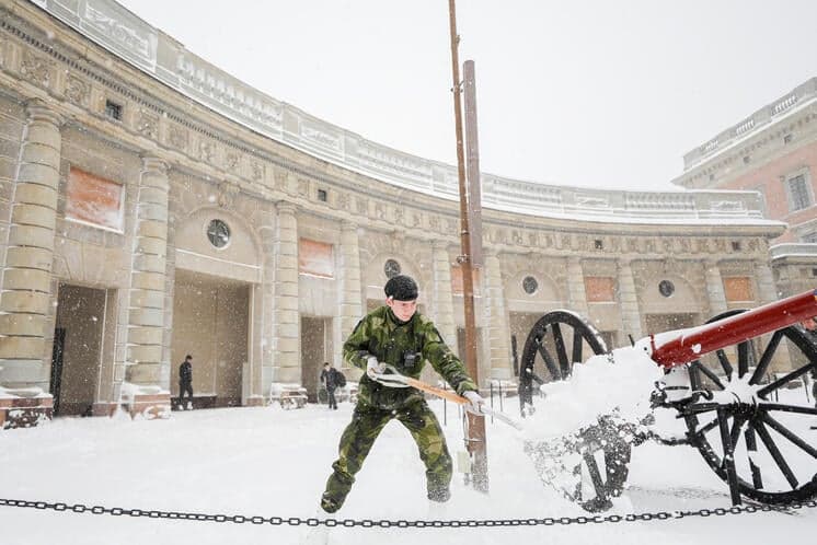
SMHI, the Swedish Meteorological and Hydrological Institute, has issued a yellow weather warning for some regions in central and northern Sweden on Monday.
Snow is expected to move towards Stockholm during the day, with northern Värmland and parts of Dalarna also affected.
The area under the yellow warning on Monday includes Stockholm, Södertälje, Uppsala, Västerås, Eskilstuna, Örebro, Karlstad and Falun.
A yellow warning is the least serious on SMHI’s scale, but it could still cause power outages or traffic disruptions, such as blocked roads, delayed or cancelled public transport, or just slow-moving traffic due to, for example, slippery roads.
“Weather that may affect society, present certain risks to the public and certain damage to property and the environment. Disruptions to some public functions are to be expected,” SMHI's definition of a yellow weather warning reads.
On Monday, SMHI warns that there is a possibility of icy conditions, slush, bad visibility, whiteouts and snowdrifts, and that accessibility could be difficult in open areas especially, where snow may not yet have been ploughed.
It also warns that there could be delays and cancellations on buses, trains and flights in affected regions, as well as a danger of power cuts in areas with overhead lines if the temperature drops close to zero.
The warning is expected to last until 8.00pm on Monday for Stockholm, Södertälje and Uppsala, and until 11.00pm on Monday in other affected areas.
Another yellow warning has also been issued for coastal regions of Västernorrland and southern Västerbotten, stretching just north of Sundsvall to Umeå, between 4.00pm on Monday until 2.00am on Tuesday.
Comments
See Also
SMHI, the Swedish Meteorological and Hydrological Institute, has issued a yellow weather warning for some regions in central and northern Sweden on Monday.
Snow is expected to move towards Stockholm during the day, with northern Värmland and parts of Dalarna also affected.
The area under the yellow warning on Monday includes Stockholm, Södertälje, Uppsala, Västerås, Eskilstuna, Örebro, Karlstad and Falun.
A yellow warning is the least serious on SMHI’s scale, but it could still cause power outages or traffic disruptions, such as blocked roads, delayed or cancelled public transport, or just slow-moving traffic due to, for example, slippery roads.
“Weather that may affect society, present certain risks to the public and certain damage to property and the environment. Disruptions to some public functions are to be expected,” SMHI's definition of a yellow weather warning reads.
On Monday, SMHI warns that there is a possibility of icy conditions, slush, bad visibility, whiteouts and snowdrifts, and that accessibility could be difficult in open areas especially, where snow may not yet have been ploughed.
It also warns that there could be delays and cancellations on buses, trains and flights in affected regions, as well as a danger of power cuts in areas with overhead lines if the temperature drops close to zero.
The warning is expected to last until 8.00pm on Monday for Stockholm, Södertälje and Uppsala, and until 11.00pm on Monday in other affected areas.
Another yellow warning has also been issued for coastal regions of Västernorrland and southern Västerbotten, stretching just north of Sundsvall to Umeå, between 4.00pm on Monday until 2.00am on Tuesday.
Join the conversation in our comments section below. Share your own views and experience and if you have a question or suggestion for our journalists then email us at [email protected].
Please keep comments civil, constructive and on topic – and make sure to read our terms of use before getting involved.
Please log in here to leave a comment.