Wind, rain and lots of snow set to hit southern France on Monday
The French national weather forecaster is warning of floods and avalanches in the hardest hit areas.
Approaching from Spain, the storm called Gloria will flush the southern regions with “exceptionally” heavy rainfall combined with strong winds starting on Monday evening, according to Météo France.
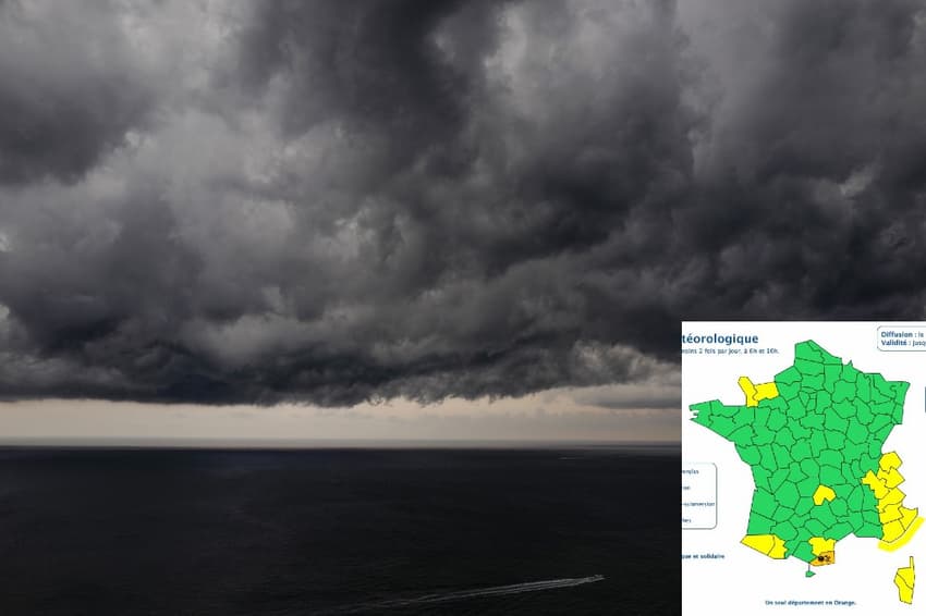
The French national weather agency had issued an orange alert for the Pyrénées-Orientales département in the far south of the country, where the rain will come down as snow.
In a tweet, Météo France warned that the more than 300 mm snow in 48 hours - and more in mountainous regions - would lead to a "strong risk of snow avalanches."
Episode de #pluies intenses et forte #neige dans les #PyreneesOrientales à venir : loc. +300mm en 48h (1,5m à 2,5m de neige en montagne) prévus entre la nuit de lundi à mardi et mercredi soir. Fort risque d'#avalanches à suivre.
Restez informés. https://t.co/BeTAGzRLBH pic.twitter.com/subD4MNxrD
— VigiMétéoFrance (@VigiMeteoFrance) January 19, 2020
Floods are expected in the southern half of Aude. Eastern Corsica and Languedoc will also be hit, but to a lesser degree.
Predicted wind gusts of up to 100 km/h over the entire southwestern coast of Roussilon - causing huge sea waves up to 7 meters - increase the flood risk further.
Gloria will reach her peak intensity sometime between Tuesday and Wednesday, with Météo France predicting between 200 and 300 mm of rain in the areas concerned.
Comments
See Also
Approaching from Spain, the storm called Gloria will flush the southern regions with “exceptionally” heavy rainfall combined with strong winds starting on Monday evening, according to Météo France.
The French national weather agency had issued an orange alert for the Pyrénées-Orientales département in the far south of the country, where the rain will come down as snow.
In a tweet, Météo France warned that the more than 300 mm snow in 48 hours - and more in mountainous regions - would lead to a "strong risk of snow avalanches."
Episode de #pluies intenses et forte #neige dans les #PyreneesOrientales à venir : loc. +300mm en 48h (1,5m à 2,5m de neige en montagne) prévus entre la nuit de lundi à mardi et mercredi soir. Fort risque d'#avalanches à suivre.
— VigiMétéoFrance (@VigiMeteoFrance) January 19, 2020
Restez informés. https://t.co/BeTAGzRLBH pic.twitter.com/subD4MNxrD
Floods are expected in the southern half of Aude. Eastern Corsica and Languedoc will also be hit, but to a lesser degree.
Predicted wind gusts of up to 100 km/h over the entire southwestern coast of Roussilon - causing huge sea waves up to 7 meters - increase the flood risk further.
Gloria will reach her peak intensity sometime between Tuesday and Wednesday, with Météo France predicting between 200 and 300 mm of rain in the areas concerned.
Join the conversation in our comments section below. Share your own views and experience and if you have a question or suggestion for our journalists then email us at [email protected].
Please keep comments civil, constructive and on topic – and make sure to read our terms of use before getting involved.
Please log in here to leave a comment.